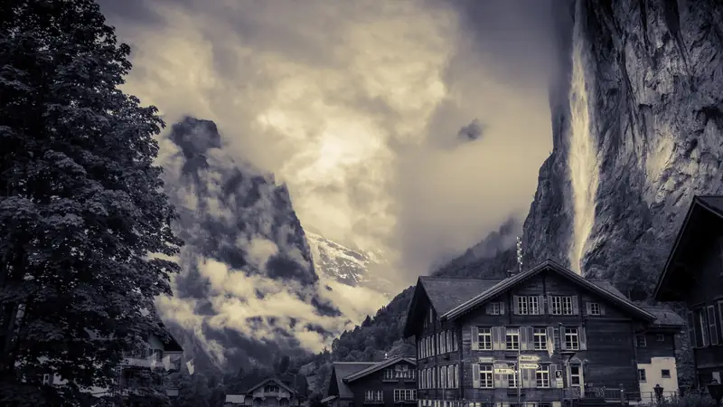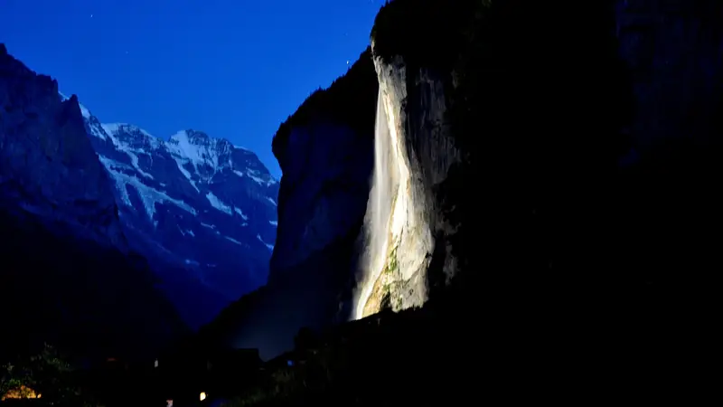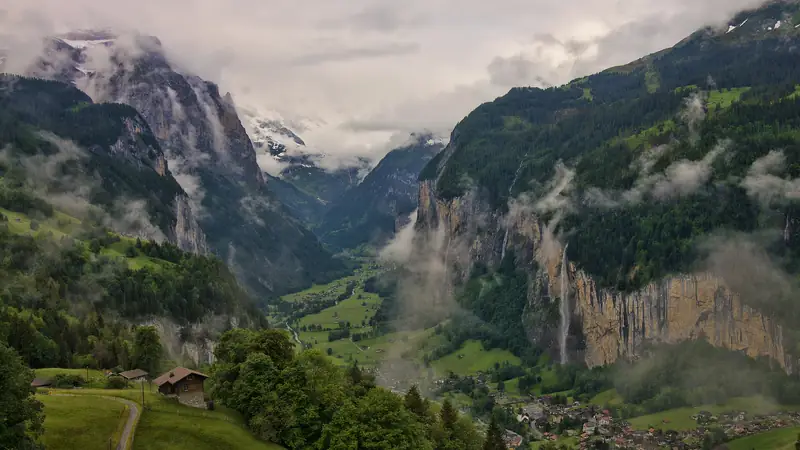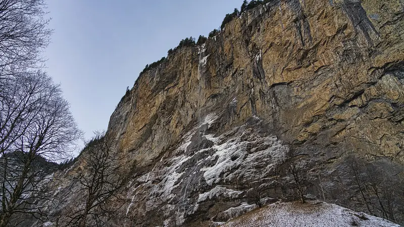
Walking is the best way to feel the scale of the valley. These are the options around Staubbach Falls, from easiest to hardest.
Compare the walks
The trail to Wengen
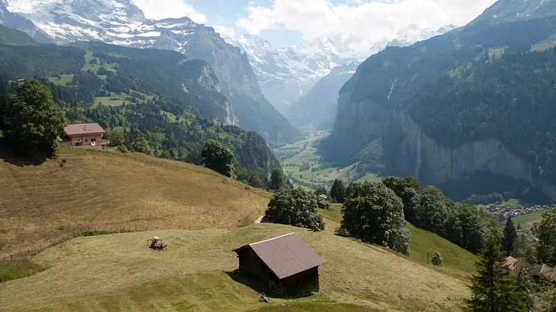
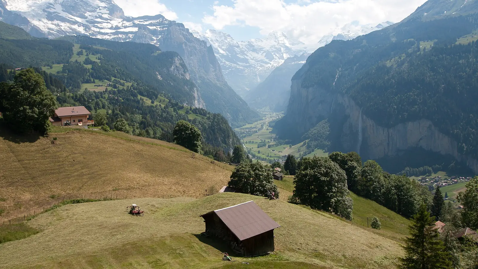
This trail leaves Lauterbrunnen toward the cogwheel railway and climbs steeply at first. The photography guide counts three viewpoints about three minutes apart where trees frame the valley, and a fourth above the railway tunnel where the falls seem closer. It is 6.8 km one way. The train can bring you back down.
Easy valley walking
The valley floor between Lauterbrunnen and Trümmelbach is flat; a road bus also runs. We did not verify a signed route or distance, so ask at the tourist office for the current map.
Winter ice and rockfall: the gallery path closes in winter, and the Wengen trail is not suitable in snow. Check conditions locally before setting out.
Plan the rest of your day with things to do and the best photo spots.
Planning to stay overnight? Compare rooms in Lauterbrunnen.
Frequently asked questions
How long is the hike from Lauterbrunnen to Wengen?
6.8 km one way, about 2.5 to 3.5 hours according to one guide, with the first section steep. The train is a simple way back.
Is there an easy walk at Staubbach Falls?
Yes. The base viewpoint needs no climb. The valley floor paths are flat and suit families.
Can I hike in winter?
The Wengen trail is described as too snowy or frozen in winter, and the gallery is closed. Stay on cleared village paths.
Some links are affiliate links: if you book through them we earn a small commission at no extra cost to you. It funds the research behind this site.